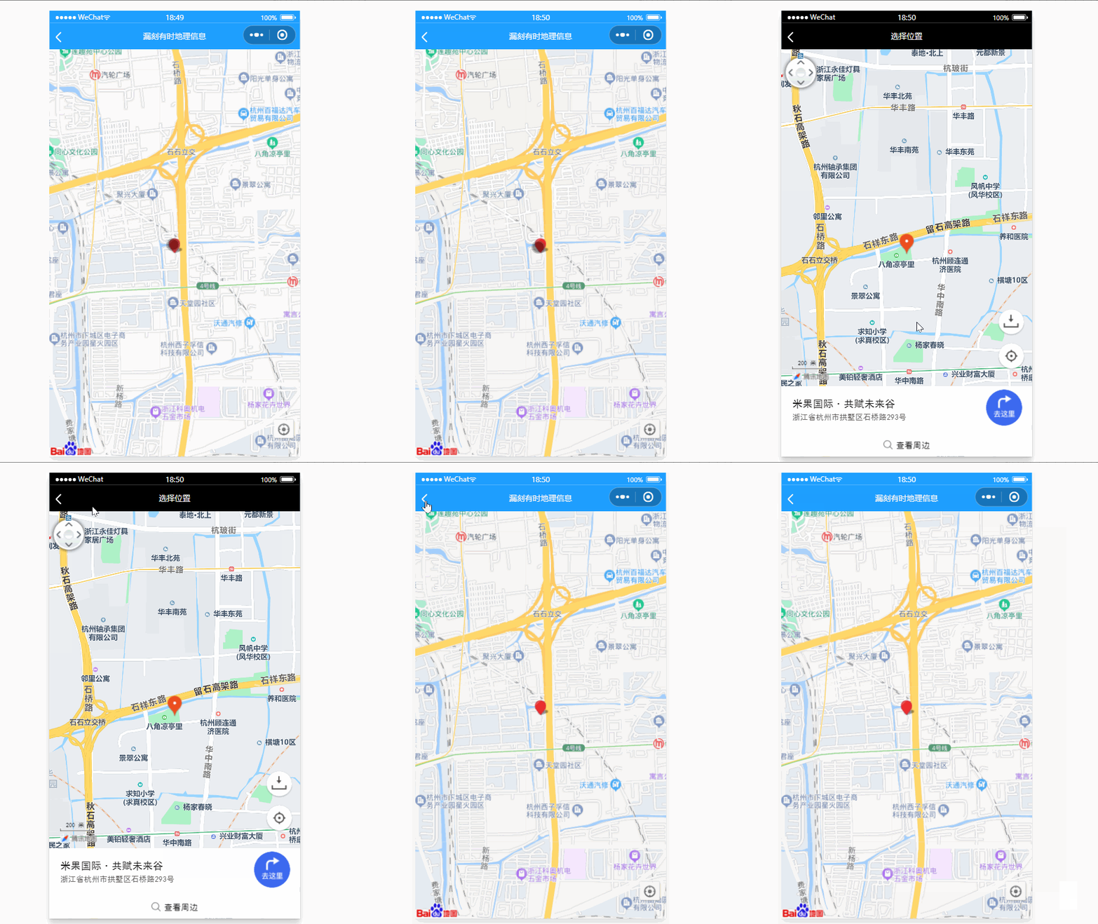
先上个效果图: 文章来源:https://www.toymoban.com/news/detail-511088.html
//index.wxml


  <map id="map"
    latitude="{{latitude}}"
    longitude="{{longitude}}"
    scale="{{scale}}"
    markers="{{calloutMarkers}}"
    polyline="{{polyline}}"
    ></map>
//index.wxss


map{
  width: 100%;
  height: 100vh;
}
//index.js
const app = getApp()
// 路径数据
const INIT_POLYLINE = {
points: [{
latitude: 40.040129,
longitude: 116.274968
},
{
latitude: 40.038974,
longitude: 116.275214
},
{
latitude: 40.038974,
longitude: 116.275214
},
{
latitude: 40.038565000000006,
longitude: 116.272683
},
{
latitude: 40.03848200000001,
longitude: 116.27209500000001
},
{
latitude: 40.03836100000001,
longitude: 116.27074
},
{
latitude: 40.03832700000001,
longitude: 116.270515
},
{
latitude: 40.03807400000001,
longitude: 116.268038
},
{
latitude: 40.03801400000001,
longitude: 116.26763600000001
},
{
latitude: 40.03801400000001,
longitude: 116.26763600000001
},
{
latitude: 40.03790800000001,
longitude: 116.267508
},
{
latitude: 40.03450300000001,
longitude: 116.270961
},
{
latitude: 40.03419900000001,
longitude: 116.271221
},
{
latitude: 40.03396500000001,
longitude: 116.271401
},
{
latitude: 40.03245000000001,
longitude: 116.272472
}
],
color: '#3875FF',
width: 8,
dottedLine: false,
arrowLine: false,
borderWidth: 0,
arrowLine: true
// colorList: ['#3875FF']
};
// 气泡窗口 我
const INIT_CALLOUT1 = {
content: '我',
padding: 12,
display: 'ALWAYS',
fontSize: 14,
textAlign: 'center',
borderRadius: 4,
borderWidth: 2,
bgColor: '#ffffff'
};
// 气泡窗口 充小猫
const INIT_CALLOUT2 = {
content: '小猫',
padding: 12,
display: 'ALWAYS',
fontSize: 14,
textAlign: 'center',
borderRadius: 4,
borderWidth: 2,
bgColor: '#ffffff'
};
// 覆盖物点 我
const INIT_CALLOUT_MARKER1 = {
id: 1,
callout: {
...INIT_CALLOUT1
},
latitude: 40.03245000000001,
longitude: 116.272472,
width: 30,
height: 40
};
// 气覆盖物点 小猫
const INIT_CALLOUT_MARKER2 = {
id: 2,
callout: {
...INIT_CALLOUT2
},
latitude: 40.040129,
longitude: 116.274968,
width: 30,
height: 40
};
Page({
data: {
// 中心点经纬度
latitude: 40.03245000000001,
longitude: 116.272472,
// 地图缩放等级
scale: 15,
// 路径数据
polyline: [],
// 标记点数据
calloutMarkers: [],
},
onLoad() {
// 1.创建 map 上下文 Context 对象,传入 map id
this.mapCtx = wx.createMapContext('map');
// 2.设置路径及点位
this.setData({
polyline: [{
...INIT_POLYLINE
}],
calloutMarkers: [{
...INIT_CALLOUT_MARKER1
}, {
...INIT_CALLOUT_MARKER2
}]
})
// 3.开始移动,这里我做了个循环的效果
this.run()
},
run() {
this.mapCtx.moveAlong({
markerId: 2,
path: this.data.polyline[0].points,
duration: 10000,
autoRotate: true,
success(res) {
console.log(res)
},
fail(err) {
console.log(err)
}
})
}
})第一次写博客,这个功能是最近接触到要使用到,参考了部分博主的思想逻辑,然后自己动手敲写出来,如若侵权,请联系删帖。文章来源地址https://www.toymoban.com/news/detail-511088.html
到了这里,关于微信小程序引用Map地图规划制定路径行走并显示路径的文章就介绍完了。如果您还想了解更多内容,请在右上角搜索TOY模板网以前的文章或继续浏览下面的相关文章,希望大家以后多多支持TOY模板网!


